Eric Catig & The High Sierra Trail

Filipino-American mountaineer, Eric Catig, atop Mt. Whitney (Tumanguya) on Paiute ancestral land.
We interviewed Los Angeles based mountaineer, Eric Catig, who recently hiked the High Sierra Trail along with four friends. Their goal was to get back in shape for climbing season in Southern California. Although he’s been climbing for nine years, the 72 mile High Sierra Trail was his first backcountry hike. Thankfully, Eric and his friends benefited from starting later in the season, which meant easier river and creek crossings, fewer insects and cooler temperatures.
The High Sierra Trail (HST) originates in Sequoia National Park before traversing the Great Western Divide from west to east. It is located on Paiute ancestral land. You can read more about the indigenous history of the HST here. Eric and his friends traveled from Crescent Meadow in Sequoia National Park up to Kaweah Gap—a dreamscape of stunning vistas, black striped granite, and rainbow colored water—before descending to camp along the Big Arroyo Creek and Kern Hotsprings. At Junction Meadow they met up with thru hikers from the John Muir Trail (Nüümü Poyo) and Pacific Crest Trail before completing a sunrise summit of Mt. Whitney. In total, it was an 72 mile journey completed over 7 ½ days.
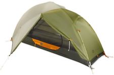
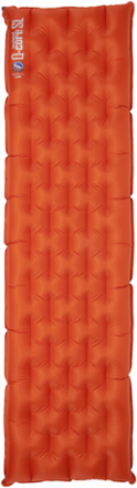
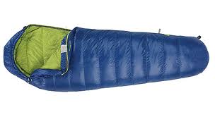
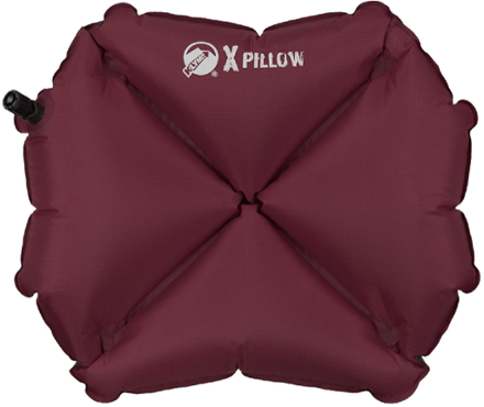
Packing List
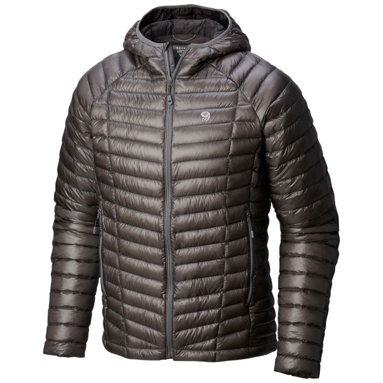
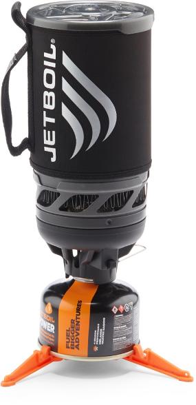
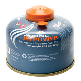
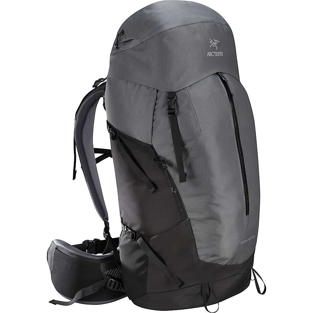
Eric arrived at Sequoia National Park with a 36 lb pack and finished the hike with a 25 lb pack. His packing list included Mountain House meals and a small amount of water knowing that there would be abundant fresh water sources along the trail. To photograph his trip, he brought along an iPhone 8, a Sony A6000 mirrorless camera, a Sigma 16mm f/1.4 DC DN Contemporary Lens and a table tripod, which, at two extra pounds, was a luxury but worth the weight. He also shared a jetboil and a tent with a friend. The group carried bear canisters as well even though most of the campsites had bear bins. To view the rest of his packing list check out the gallery below.
Packing List Must Haves
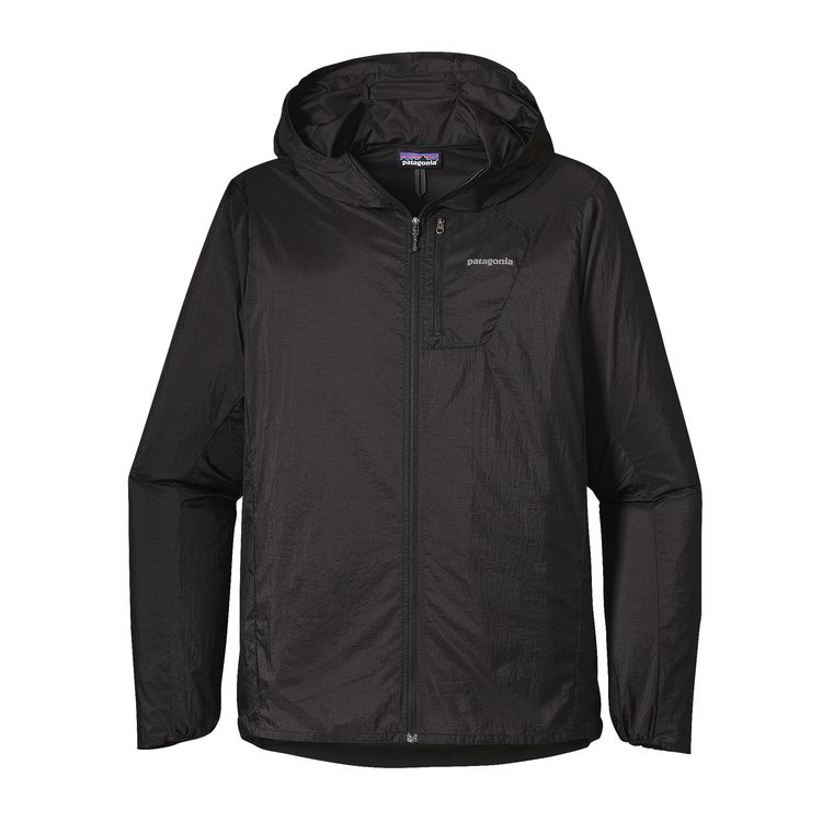
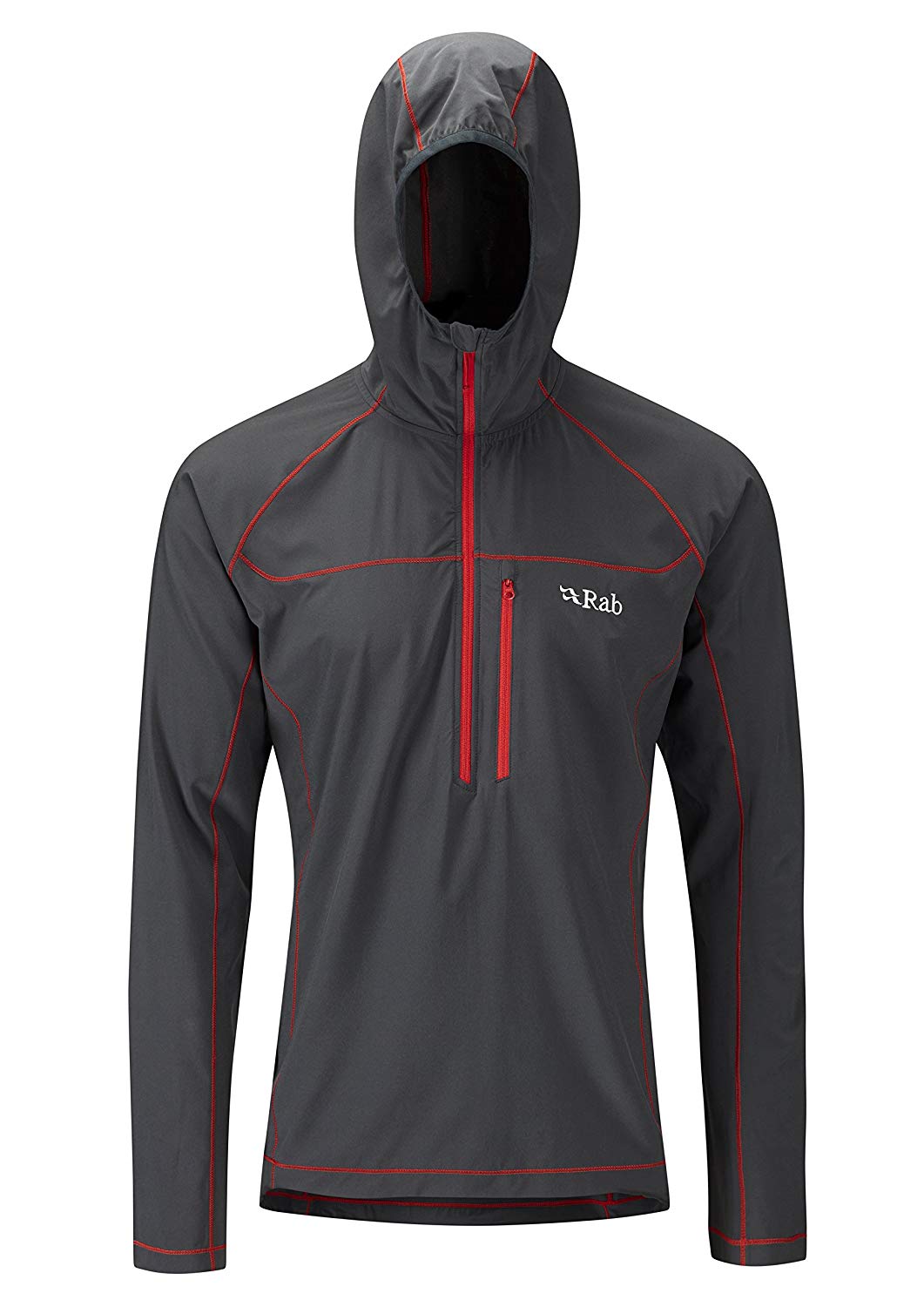
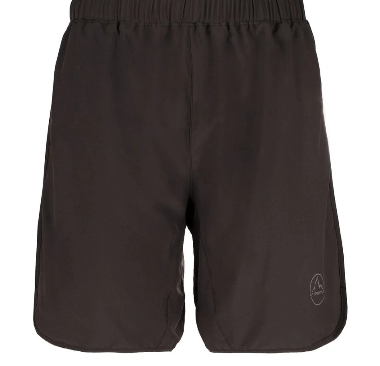
Clothing + Footwear


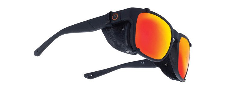

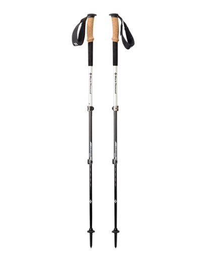
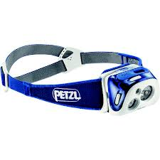
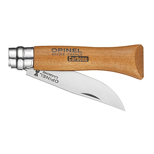
Gear


Nuts & Bolts


Day 1: Crescent Meadow to Mehrten Creek
Eric and his friends got dropped off at Sequoia National Park where they picked up their permits at Lodgepole Visitor Center and began the first leg of their journey. The High Sierra Trail begins at Crescent Meadow. They started hiking at 1 p.m. and covered 5-6 miles before making camp at Mehrten Creek. The first day of hiking was “beautiful, all forest and massive rock faces with plenty of shade.” They even saw a black bear on their first day, albeit at a distance. By the time they arrived at their campsite they were sore and tired and having second thoughts. They made camp above Mehrten Creek, one of the backcountry campsites on the way to Bearpaw Meadow. It is located approximately 5.8 miles from the Crescent Meadow Trailhead with an elevation gain of 800 ft. It’s a great campsite for hikers getting a late start or for those who want an easier first day of hiking.
Day 2: Mehrten Creek to Hamilton Lake
On the second day they hiked 9.5 miles with a 1,400 ft elevation gain from Mehrten Creek to the upper Hamilton Lake basin. Hamilton Lake, perched at a lofty 8,000 ft in the Sierras, was their first alpine lake. It’s nestled beneath 2,000 ft granite cliffs known locally as both “Valhalla” and “Angel Wings.” They refilled their water wherever fresh, running water was available which was “pretty much everywhere.” On the trail Eric used a Katadyn 1.0 L Be Free Water Filtration System to store and filter water. He described it as very simple to use—“it’s pretty fast you just fill the bag and squeeze it”—as well as collapsible; weighing in at only 2.05 ounces. Another friend brought a 3-4 gallon gravity filter for them to use in the campsite for cooking and washing. They never had an issue finding water along the trail. There were also a lot of river crossings on Day 2 which Eric described as. “manageable because it was pretty late in the season.” According to Eric, backpacking got easier the farther they hiked. Initially, “everything hurts and then you notice it less. After the second day I couldn’t even Asian squat. I had to throw my Thermarest foam butt pad down and kneel on the ground to get items out of my pack.” The evening of the second day, Eric discovered that his sleeping pad mysteriously deflated. He tried to patch it up, but was unsuccessful and, thereafter, he woke every night around 2am in order to try to blow it up again.
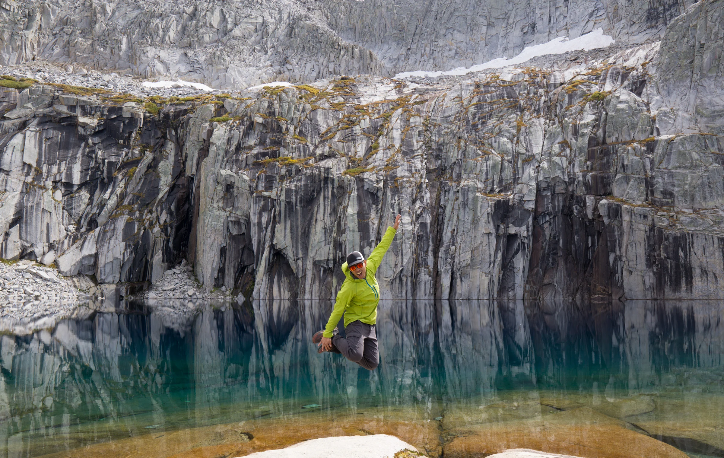
Eric perfecting his jump shot at Precipice Lake on the eastern side of the Great Western Divide. Photo credit: Eric Catig
Day 3: Hamilton Lake to Big Arroyo Creek
On Day 3 the party of five hiked a brutal series of switchbacks in order to reach the Great Western Divide. The Kaweah Gap is located at 10,700 ft in the Sierra Nevada. It’s also, as Eric notes, the most scenic section of the High Sierra Trail. The hikers were in awe of the black striped granite and brightly colored vegetation and water. The beautiful views made up for the almost 2,500 ft elevation gain as they traveled from one alpine lake, Hamilton Lake (8,000 ft), to another, Precipice Lake (10,400 ft), over the Great Western Divide and down into Big Arroyo. Camping by the Big Arroyo was the coldest night of the trip.
Day 4: Big Arroyo Creek to Kern Hot Springs
On Day 4, they woke up to frost at their campsite near Big Arroyo Creek. They trekked mostly downhill before making a quick detour to Moraine Lake where they stopped for lunch. Afterwards, they hiked on to Kern Hot Springs for a total of 14 miles. The springs provided an opportunity to relax and soak muscles sore from the previous day’s switchbacks before the brief eight mile trek to Junction Meadow the following morning.

Photo of Hamilton Lake, Sequoia National Park. iStock Photo.
Day 5: Kern Hot Springs to Junction Meadow
On the fifth day, Eric and his friends slept in before making the eight mile trek to Junction Meadow where they set up camp. They ran into two other groups of High Sierra Trail hikers. One of his friends assembled a Remington fly rod from his pack and soon enough they were grilling fish over a campfire. The moment was inspirational. As soon as he got home Eric began researching fly rods and made plans to go fly fishing the following weekend.
Day 6: Junction Meadow to Guitar Lake
On Day 6, they left Junction Meadow and hiked approximately 12 miles, ascending over 4,000 ft, to Guitar Lake; an alpine lake at 11,500 ft which sits at the backdoor of Mt. Whitney. They fell asleep at 5 p.m. and woke up at 1 a.m. on Day 7 in order to hike Mt. Whitney. Mt. Whitney is also the terminus of the John Muir Trail (Nüümü Poyo). It’s tradition for JMT thru hikers to end their trek with a sunrise summit of the highest peak in the contiguous United States.

The 7 1/2 day trip ended with an sunrise summit of Mt. Whitney (Tumanguya). That meant an early start from Guitar Lake.
Day 7: Guitar Lake to Whitney Outpost Campsite
After an alpine start and a chilly 3,000 ascent they left their packs at the trail junction leading up to the summit. Even though it wasn’t his first time on Mt. Whitney, it was a new route. After enjoying sunrise at the summit they took the Whitney trail over 4,000 ft down the mountain to the Whitney Outpost Campsite. There’s a reason the Whitney trail is known as 99 switchbacks and that reason is not very fun. At the campsite at the base of the Whitney Trail they were too tired to set up tents so they crawled into sleeping bags and fell asleep. It was 2 p.m. on the seventh day.
Day 8: Whitney Outpost Campsite to Whitney Portal
On Day 8 they woke up and walked the 3.6 miles down to the Whitney Portal. It consists of a general store and restaurant with restrooms and showers. They didn’t feel like hiking the 2 miles to the pick up area so they hitchhiked instead.
Eric’s Tips From the Trail
You’ll bring more food than you need. We were all giving away our food to each other. You’ll eventually run into someone at the Junction that will want to give away their food too.
Travel light. Knowing conditions ahead of time will eliminate the need for just-in-case items. Another hiker trailed us on the HST after becoming separated from her group. Her pack was heavy because it included extra items like crampons and snowboarding pants. It helps to really research the conditions and what to bring. Just in case items add weight.
Wear sunscreen. We came prepared. On Mt. Rainier my hands burned along with my face. After that I bought every sun protection item I could think of with me to the HST. We really brought everything: sunglasses, sun gloves to protect my hands, a long sleeved hoody and sunscreen.
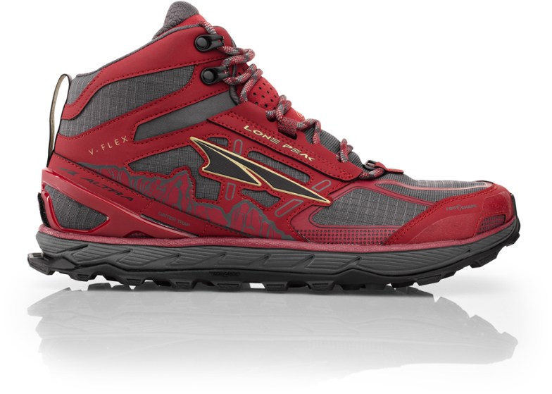
Invest in a decent pair of trail runners with a good fit. They’re lighter than boots while still providing support and tread. I wore a pair of Altras. I didn’t want to wear boots because they’re overkill for this. I got hightop trail runners instead. The provide support for ankle but they’re lighter than boots. They’re also popular with thru hikers. Those guys hike a lot longer, hundreds of miles, even. They wear trail runners and their packs are super light.
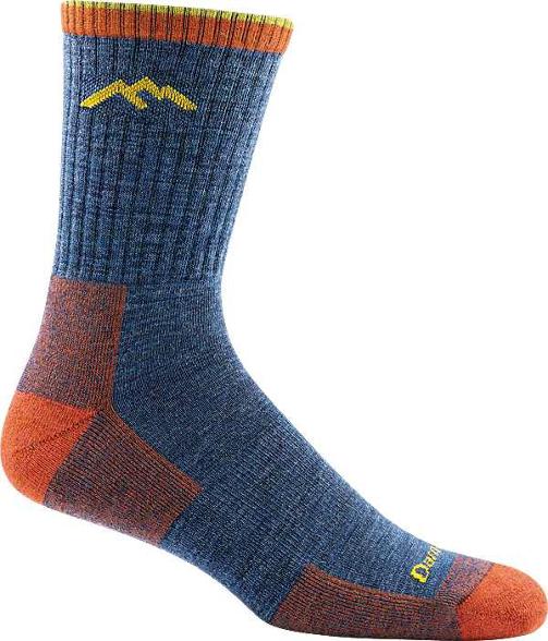
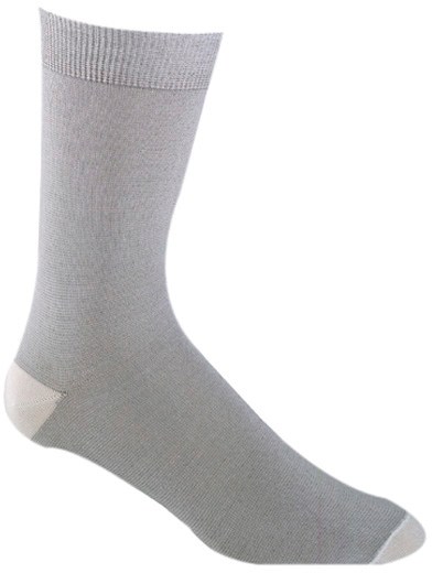
Wear sock liners. If you wear wool socks for long periods they will stick to your foot. Perspiration will literally fuse your foot to the sock. A long time ago my friend showed me sock liners and I haven’t looked back. The concept is simple: they’re a thinner sock that you wear under your regular socks [Editor: Sock liners are like the military hack of wearing pantyhose under wool socks during ruckmarches.]
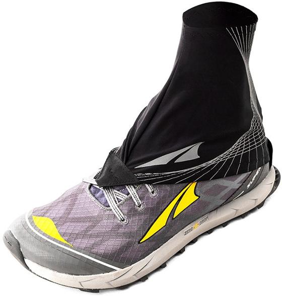
Trailgaiters are like mountaineering gaiters. They cinch around the top of your ankle and prevent rocks and pebbles from disappearing down your shoes. The end result is a more comfortable hike.
Bring an Inflatable Pillow. My Klymit pillow was my favorite thing about going to sleep each night.
Invest in a decent Sleep Pad. I brought an older sleep pad and then later regretted after it deflated in the middle of the night. I attempted a patch job but it still wouldn’t hold air for the rest of the trip.
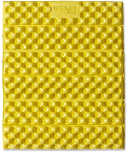
Buy a Butt Pad. My Therm-a-Rest Z-Seat Pad came in handy during the trip—especially after the second day when I couldn’t even Asian squat.
What was your favorite day hike or backcountry trip? Leave us a comment below and let us know!
The first time I realized this wasn’t going to just “go away” was when the pain started waking me up. It wasn’t just a running thing anymore. It wasn’t something I could stretch out, tape over, or ignore until my next workout. It was there first thing in the morning, when I took my first steps and needed a few minutes just to walk normally. It followed me through my workday, a dull but persistent reminder with every step.